Teslin is a small village located in the Yukon Territory at historical Mile 804 (Km. 1244) on the Alaska Highway, approximately halfway between Watson Lake and Whitehorse. During the Gold Rush of 1898 Teslin was a busy place as a stopover on the Canadian route to the Klondike, and the Hudson Bay Co. established a trading post for the villagers and those traveling the Klondike trail. In 2013, Teslin had a population of approximately 450 people, and facilities include an airport, museum, RCMP Detachment, school, community centre, health unit, post office, motels, restaurants, and a general store.
We passed through on August 5th, 2013.
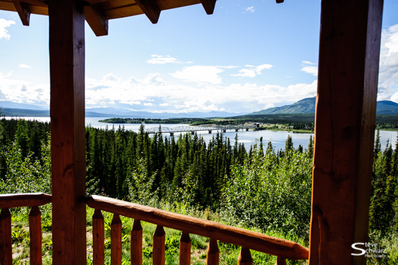
Scenic viewpoint on a hill overlooking the Teslin and the Nisutlin Bay Bridge
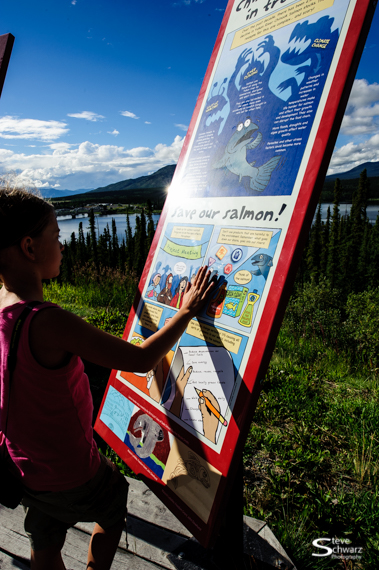
Cartoon signs emphasizing the importance of Salmon to the region and its people
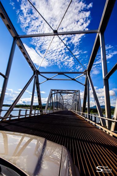
The Nisutlin Bay Bridge in Teslin, an impressive seven-arch metal span, is the longest bridge on the Alaska Highway.
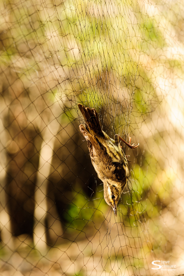
A netted bird, soon to be banded as part of a Canadian Wildlife Service bird banding project
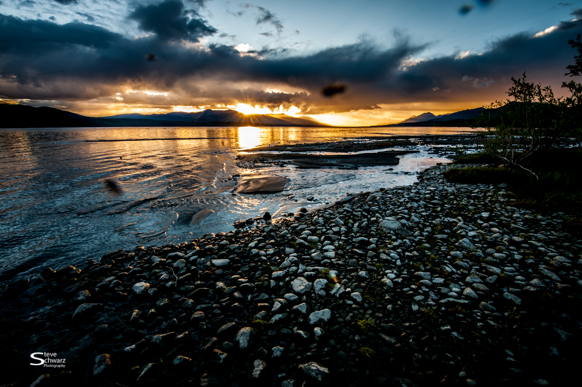
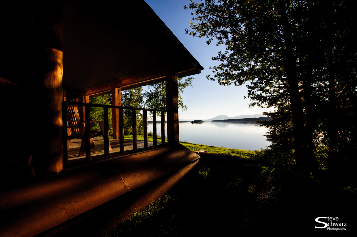
Sunset on Teslin Lake. Yes – it was buggy that night, and they were all over my camera lens too. Nikon D700, Nikon 14-24mm lens, 1/25th sec f/16, ISO 400. Click image to view it larger.

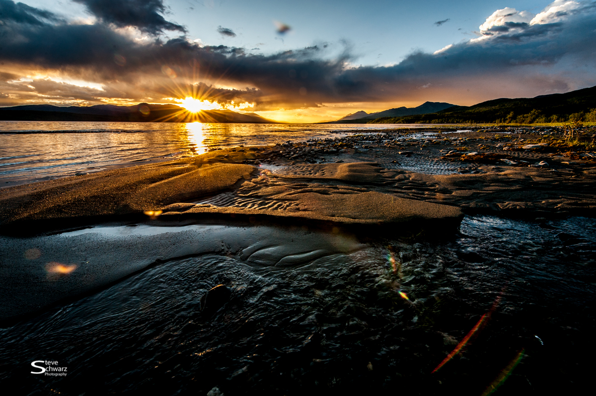
Sunset on Teslin Lake. A relatively bug-free photo, by blowing on the camera lens during the exposure. Nikon D700, Nikon 14-24mm lens, 1/25th sec f/16, ISO 400. Click image to view it larger.
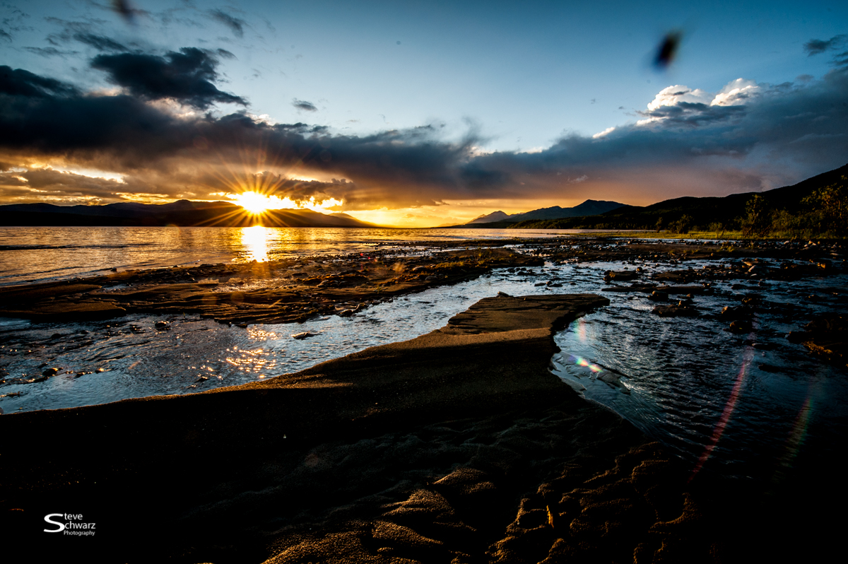
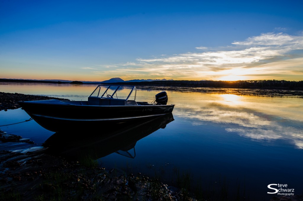
Sunset on Teslin Lake. A relatively bug-free photo, by blowing on the camera lens during the exposure. Nikon D700, Nikon 14-24mm lens, 1/100th sec f/16, ISO 400. Click the image to view it larger.
Sunset on Teslin Lake. A relatively bug-free photo, by blowing on the camera lens during the exposure. Nikon D700, Nikon 14-24mm lens, 1/100th sec f/16, ISO 400. Click the image to view it larger.